
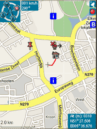


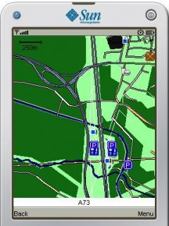
Trekbuddy is a J2ME application to be used with a GPS receiver. It is designed to work with every Java-enabled device.
It features capabilities such as:
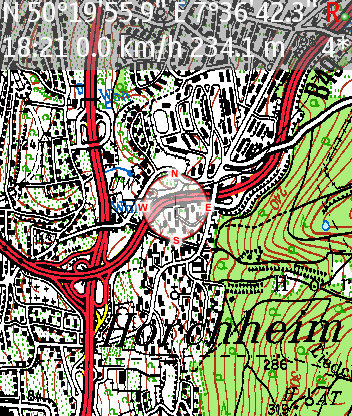
* GPS tracking and simple navigation
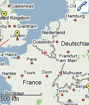
* bitmap maps (without zoom, you can store bitmap maps with different resolution instead)
* arrange maps as atlas for increasing and decreasing resolution
* trackloging in NMEA or GPX format
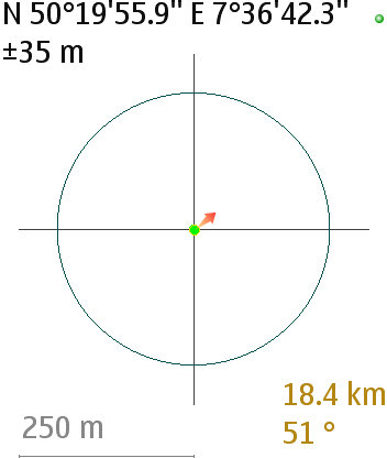
* simple navigation (to a single waypoint or along a route)
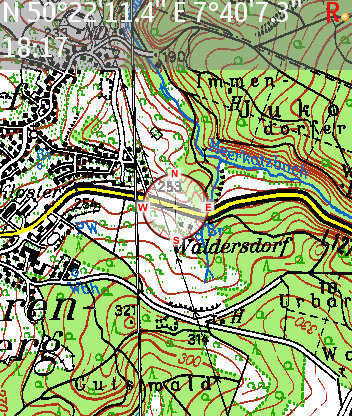
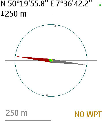
* compas screen (HPS)
* cockpit screen (CMS)
* location sharing via SMS with other trekbuddies
and more.
It supports most commonly used map projections and grids, such as:
* Latitude/Longitude
* Mercator
* Transverse Mercator
* Universal Transverse Mercator
* Swedish Grid
* British National Grid
* Irish Grid
* Swiss Grid
* Lambert France I-IV
* Lambert Conformal Conic
as well as custom datums.
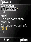
As a location source:
* bluetooth or serial port GPS
* internal (integrated) GPS
* NMEA file
* HGE-100 device
* O2 Germany network
may be used.
What's New in This Release:
· minor bugfixes of: UIQ user interface, more NMEA stream errors recorded, filter for invalid positions in GPX, midlet crash with 1-tile scrolling
· added geoidheight to GPX


Comments not found